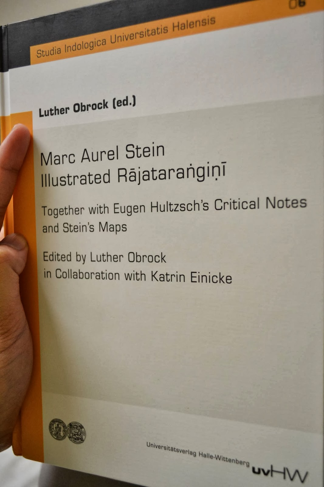
Posted on December 23, 2013October 12, 2020 by Vinayak RazdanMemoir On Maps Illustrating Ancient Geography Of Kashmir (1899) Aurel Stein’s ‘Memoir On Maps Illustrating Ancient Geography Of Kashmir’ (1899) from ‘Journal of the Asiatic Society of Bengal, Vol. LXVIII, Part I., Extra-Number 2. – 1899. Direct Link Related Posts:Complete Anand Koul Collection Between 1910s, 20s and 30s, Anand Koul remained one of…Sahib Ram's Tirathsangrah Maps and the Sacred… Like for many of his generation, Sahib Ram Kaul's exact…Marc Aurel Stein: Illustrated Rājataraṅgiṇī Stein's edition of the Sanskrit text of Rājataraṅgiṇī appeared in…Complete Chronology of All Kings of Kashmir King with his queens and attendants Awantiswamin temple A chronological…Birth and Journey of Vitasta - mother river of Kashmir The river Vitasta can be considered to have formed at…Kangir: A Traditional Fire-pot of Kashmir | by… Guest post by Akhshar Koul, B.A. (Hons) in Archaeology from…