Maps, 1590, 1652, 1792

From ‘Historical Records of Survey of India’ Vol 1-3,  Colonel R. H. Phillimore (1950). Probably most comprehensive work on early efforts at mapping India.

Father Monserrate’s Map, 1590

Map by Sanson d’Abbeville, 1652

Rennell’s Map 1792.

-0-

Jehlam flows into Bay of Bengala


Goof-up from a time when East India Company had just arrived at Mughal courts:

Kyshmier [Kashmir]. The Cheefe Citty is called Sirinakar [Srinagar]. The Riuer of Bhat [Behat or Jehlam] passeth through it and findeth the Sea by Ganges or, some say, of it self in the North Part of the Bay of Bengala. It bordereth Cabul to the East Southerly. It is all Mountaines.

From the Appendix to ‘The embassy of Sir Thomas Roe to the court of the Great Mogul, 1615-1619, as narrated in his journal and correspondence’ (1899).

A note in the book does point out the obvious error in sending Vitasta eastwards and mentions that William Baffin’s map from 1619 of Mughal empire , based on Sir Thomas Roe’s account did get the direction of the river right.

William Baffin’s Map
[via: columb
ia.edu]

-0-

Dal in Time

Slow primordial death.

Created based on satellite images of Dal Lake dating from 1998 to 2012 made available by Google (here, although they were supposed to have images dating from 1984 but somehow the actual data available is only from 1998. The image came alive and death of the lake became clearly visible by applying certain line filters on the images. I tried something similar for Wular, but there the lake is hardly visible in any case, all one sees is movement of a green cover.

-0-

Zorawar’s War Horses

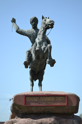
A monument dedicated to
 General Zorawar Singh in Jammu

Zorawar kay ghoday dhoday
Kuch log ujhday
Kuch desh bhasay

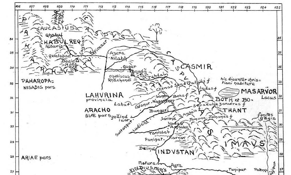
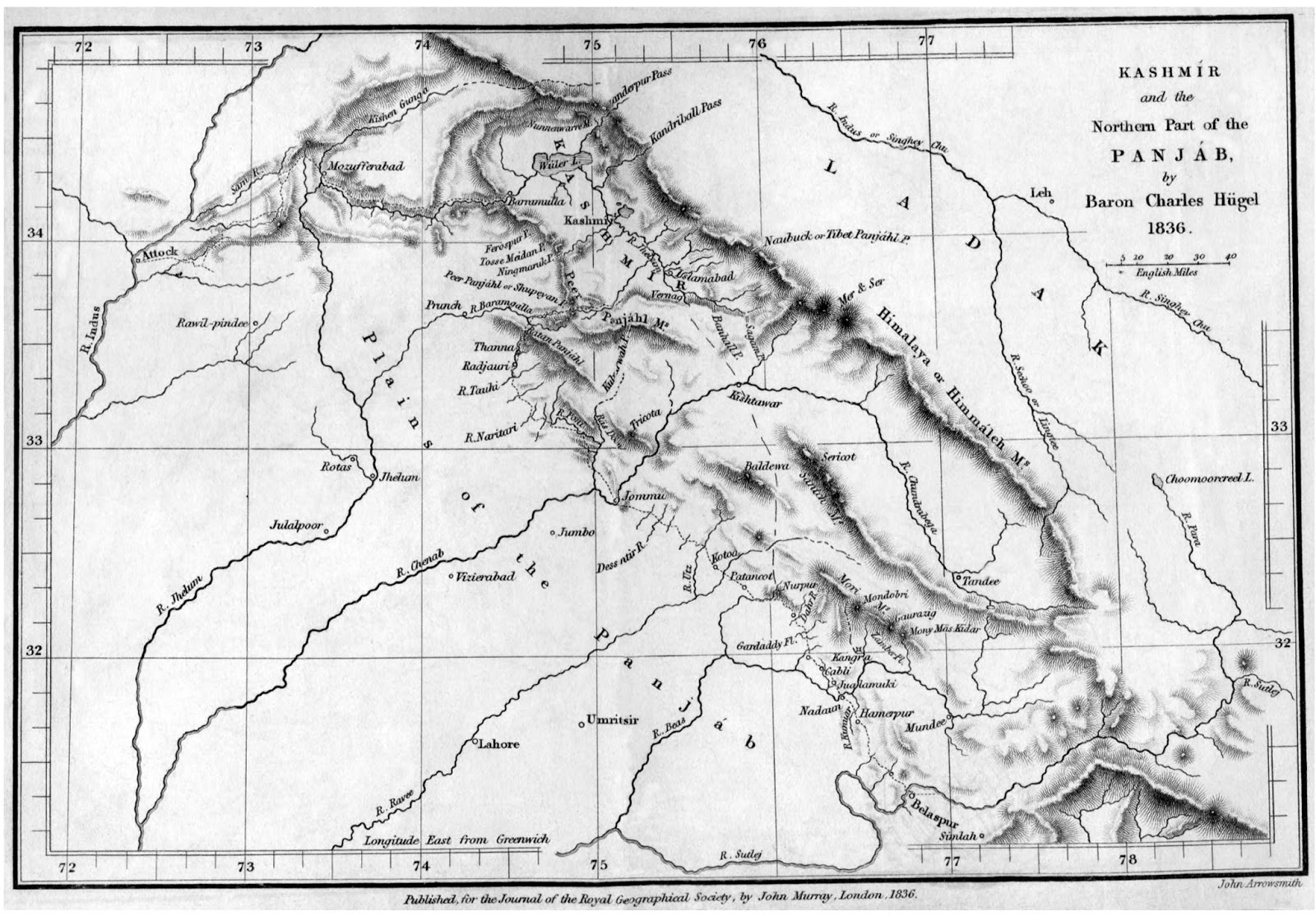
My Great-Great-Great Grandfather was a man named Kamal Joo Razdan/Raina, a cashier in Zorawar’s Army, posted at times in Gilgit. The family lore has it he even had a sword, a royal gift.

-0-

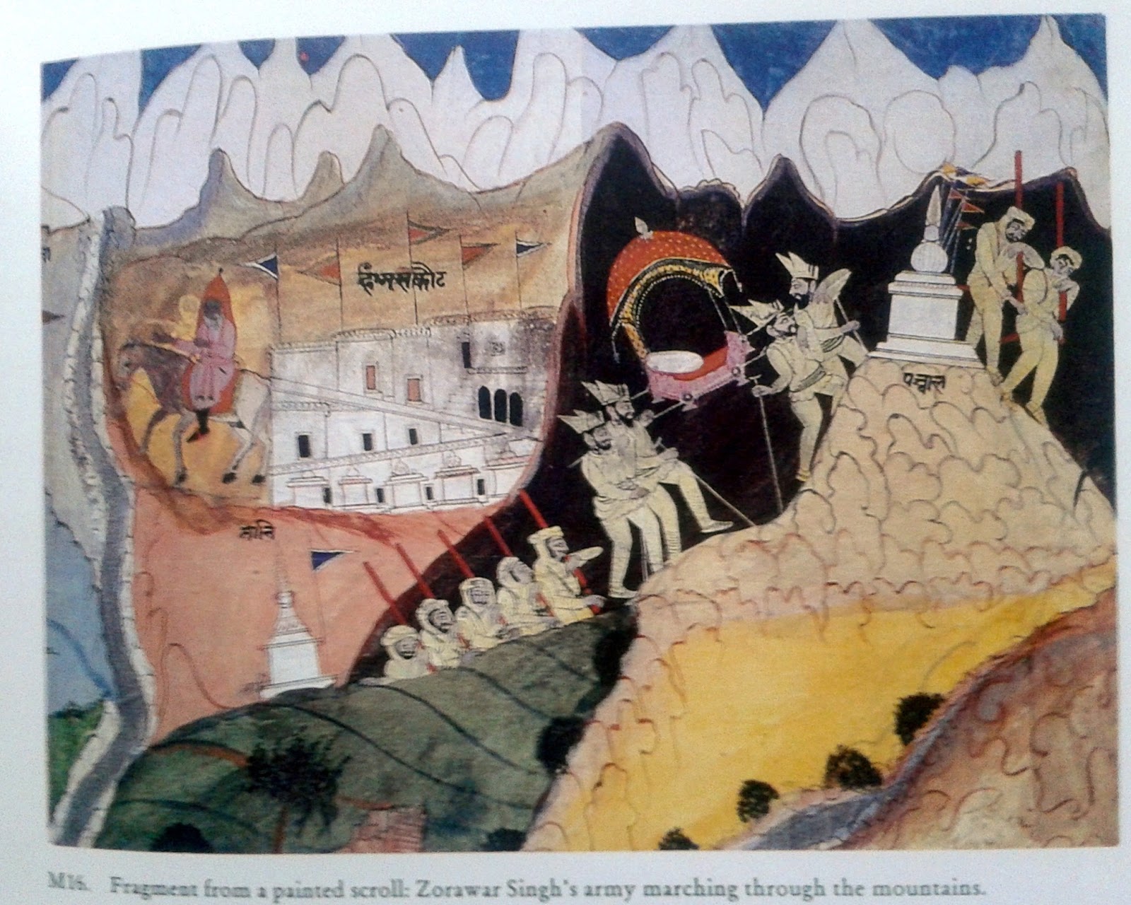
Fragment from a painted scroll: Zorawar Singh’s army marching through the mountains

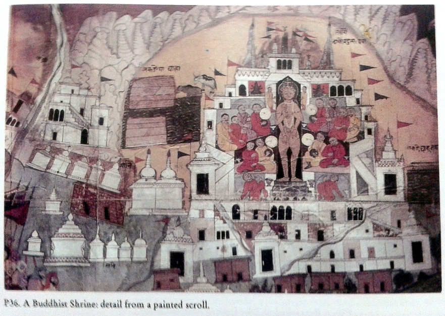
A Buddhist Shrine: detail from a painted scroll. [In the bottom left corner can be seen Zorawar’s Army, looking on]
From Kashmiri Painting by Karuna Goswamy, 1998.

-0-

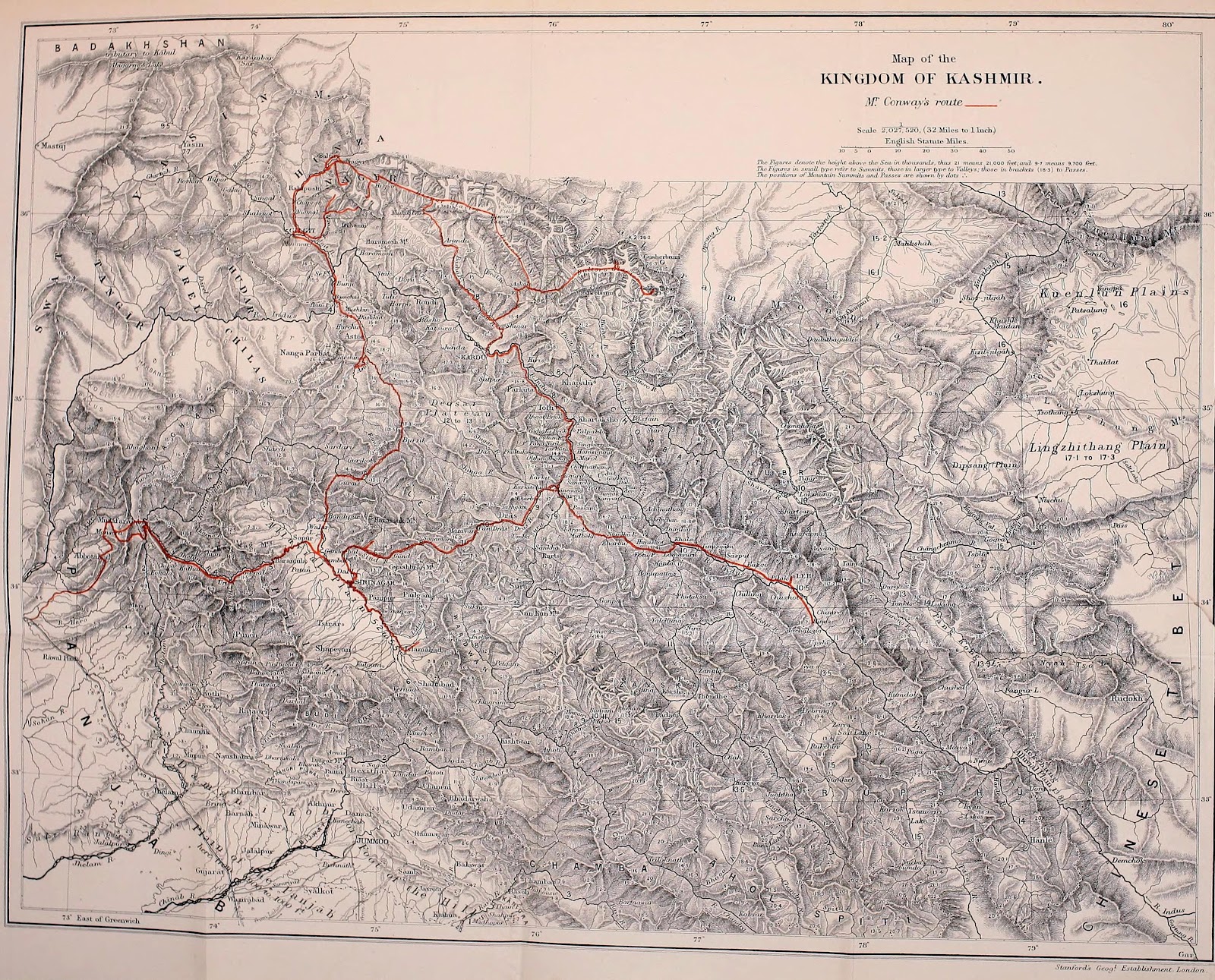
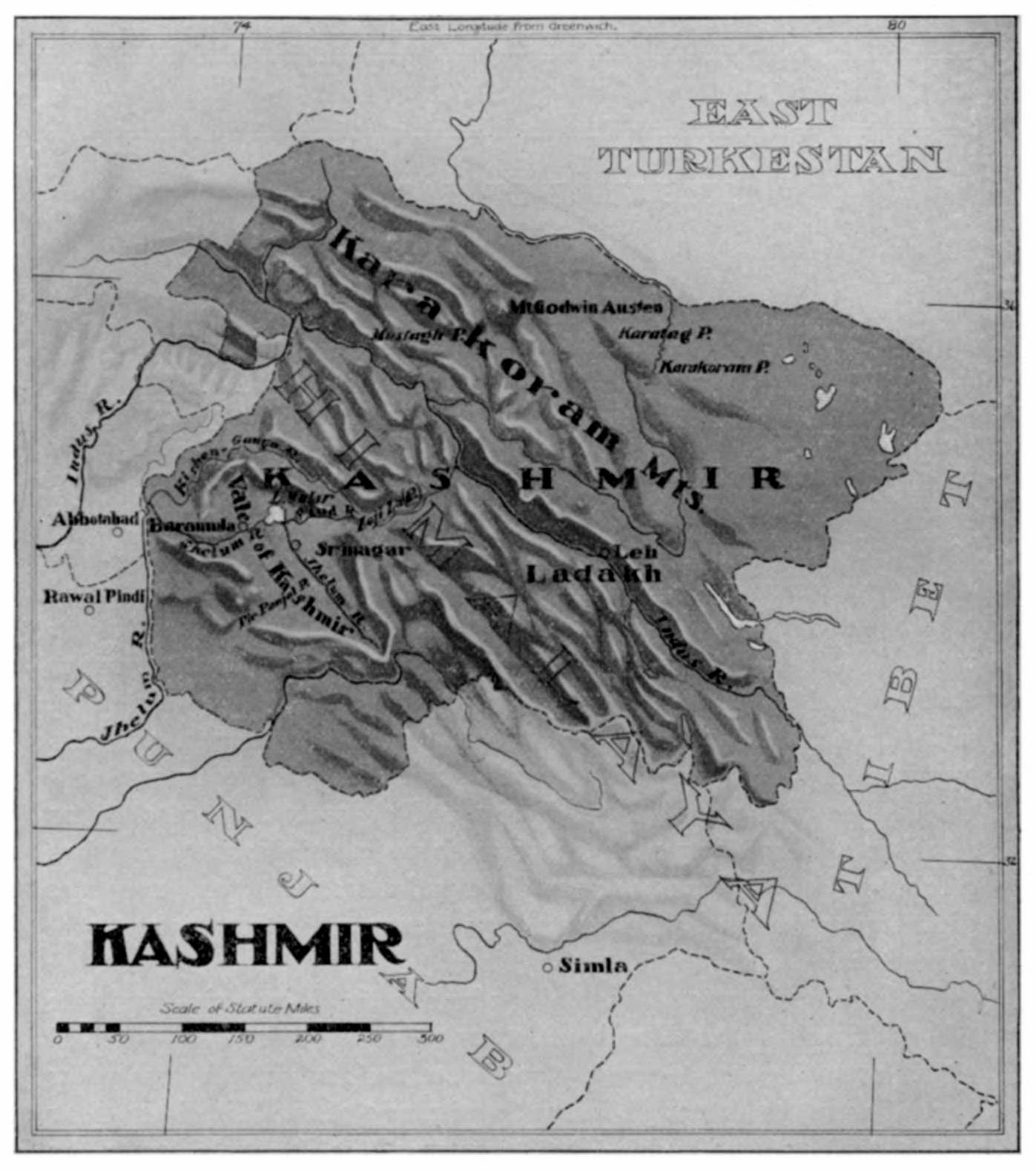
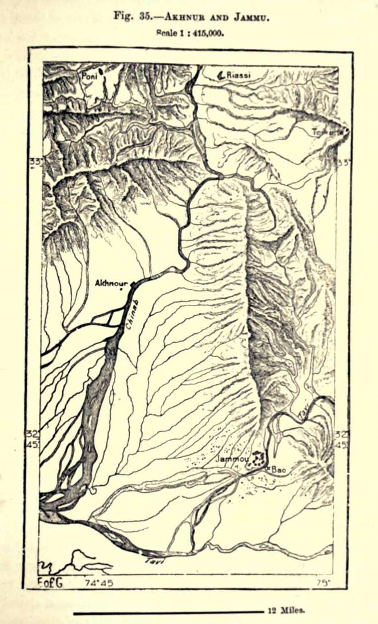
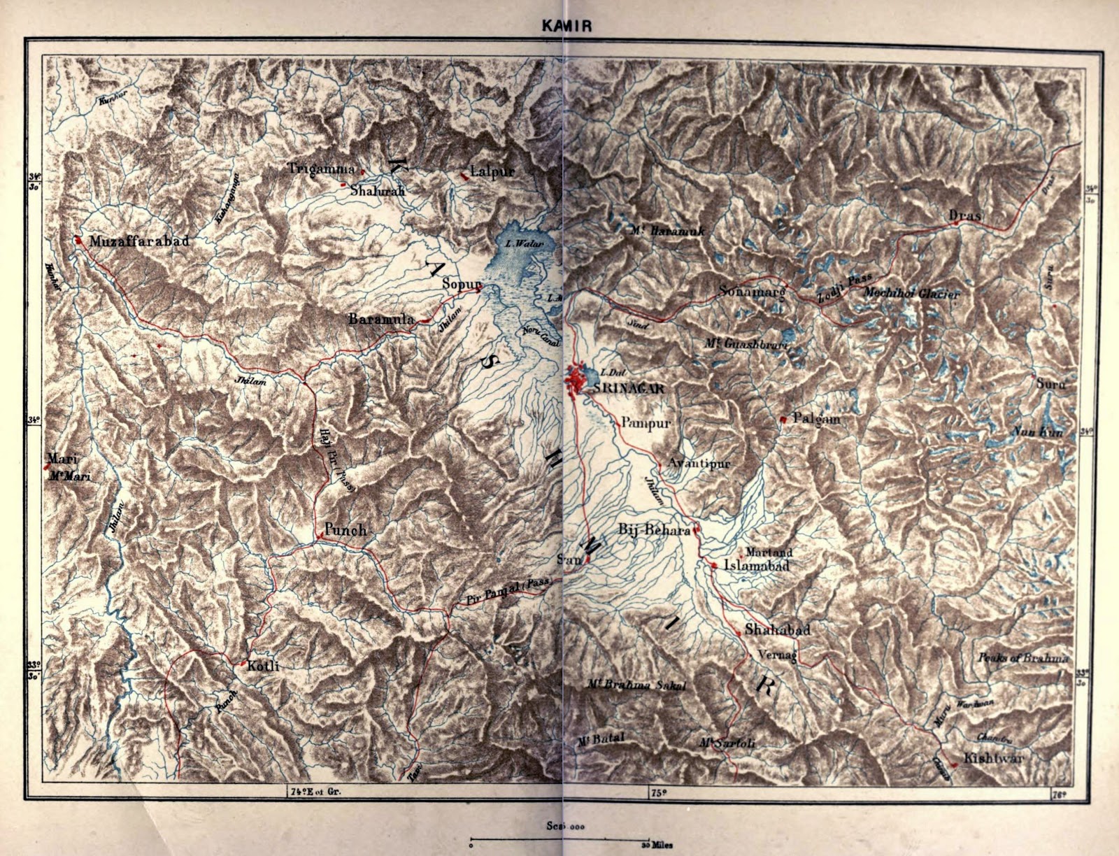
In Leh, we hear Ladakhi women singing the song of Zorawar Singh’s wife:

I do not wish to eat bread received from the sinful northerners
I do not wish to drink water received from the sinful northerners
Amidst the inhabitants of this land I have no friends and relations…
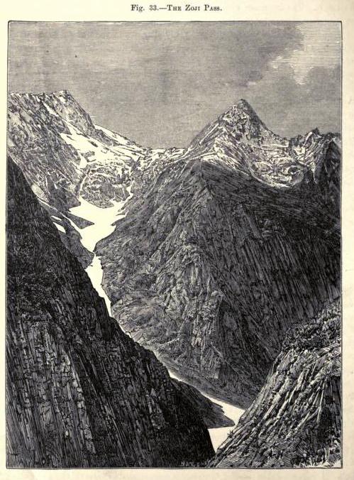
When arriving at the Zoji-la-Pass, my fatherland can be seen…
Although I can see my fatherland, I shall not arrive there…


In Jammu, a wife of a soldier sings:

Tera miga ladga i manda, O gadda,
tera miga lagda i manda,
Eh Patwari migi khat rehyum liki dinda,
sau sau karnian Chanda.
Kehsi banai Rama
Jange di Chakri


I am sick of separation, my love,
I am sick of separation,
I entreat the Patwari again and again,
To write a letter for me, but he refuses,
So you leave the army and return home.
Why, O God Rama, have you created a permanent institution like the Army?


lines found in book, ‘Jammu and Kashmir’ by Somnath Dhar (1982) [link]


-0-

Map of Kingdom of Kashmir from David McCormick’s ‘An artist in the Himalayas’ (1895).


-0-

Maps, 1891

From ‘The Earth and Its Inhabitants, Asia, Volume 3’ (1891) by Elisée Reclus. [The universal geography : earth and its inhabitants ([1876-94]) V8]

Map of Srinagar. Names of some of the place are hard to identify with present Srinagar. Suggestion and corrections are welcome.[Update: some input from Yaseen Tuman on Facebook page of the blog:
road from Saidakadal bridge to Ashaibagh is no where
Amdakadal is exactly where Sadrebal is today
Sodarbal has to be corrected with Naushahar
]

Map of Jammu

Some other

Zoji La Pass [Based on a photograph by Samuel Bourne, 1864]

Srinagar Bridge

Map of Kashmir

-0-

searching for Ptolemy’s Kasperia in old hellenic maps

Another failed attempt to find Ptolemy’s Kasperia in old hellenic maps.

Asian cut from ‘A Map of the Entire World According to the Traditional Method of Ptolemy and Corrected with Other Lands of Amerigo Vespucci’ by Martin Waldseemüller’s 1507. [available here]. This was the first map that depicted a world separated by Pacific ocean.
-0-
Note to self: do not try it again for sometime. It can drive one mad.

Facebook
YouTube
Instagram
RSS