
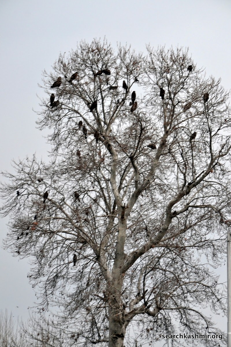
-0-

in bits and pieces
-0-

-0-
 |
|
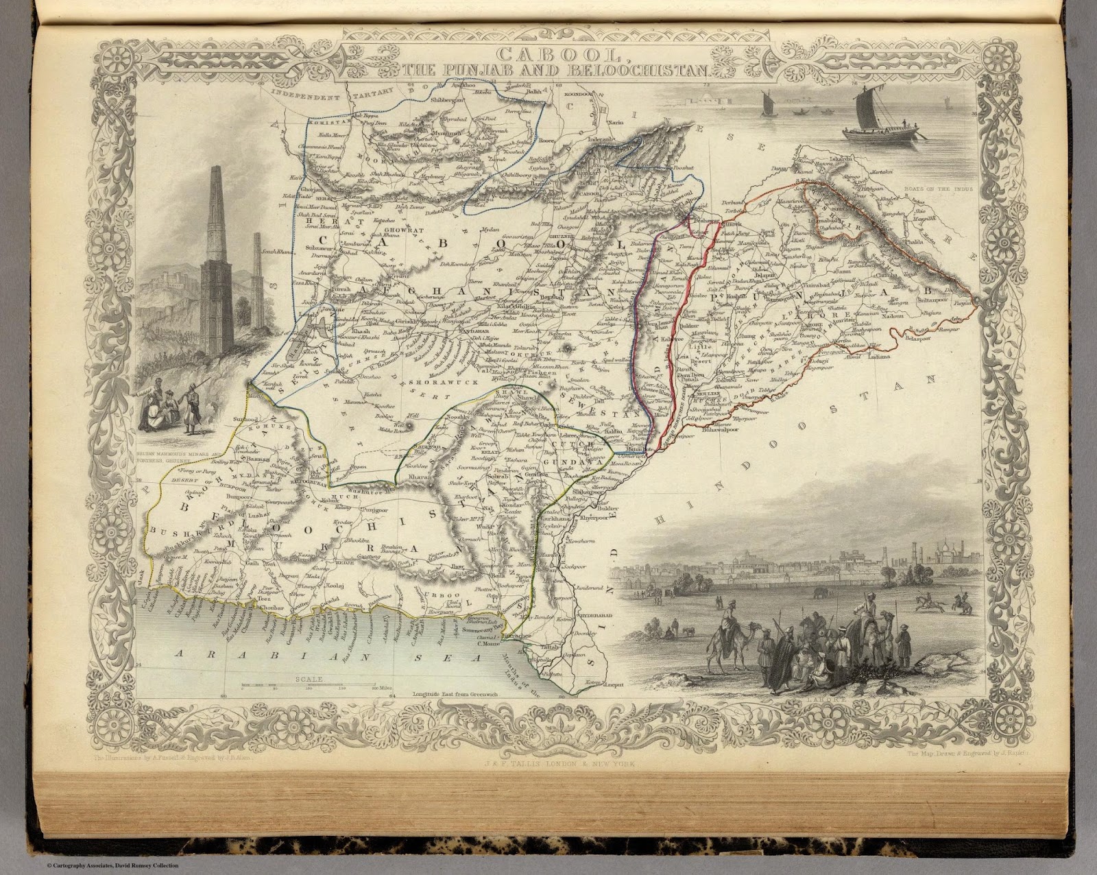
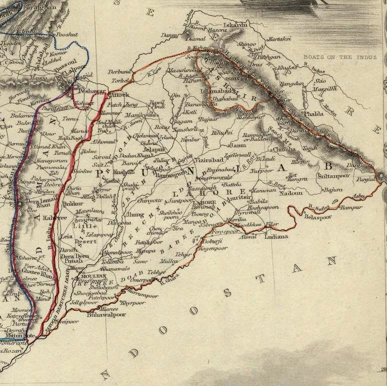
Cabool, The Punjab & the Beloochistan
Issued 1851, London & New York by John Tallis & Company
Drawn & Engraved by J. Rapkin
via: davidrumsey.com
|
And in this mind wrapping map: This is Kashmir….
-0-

-0-
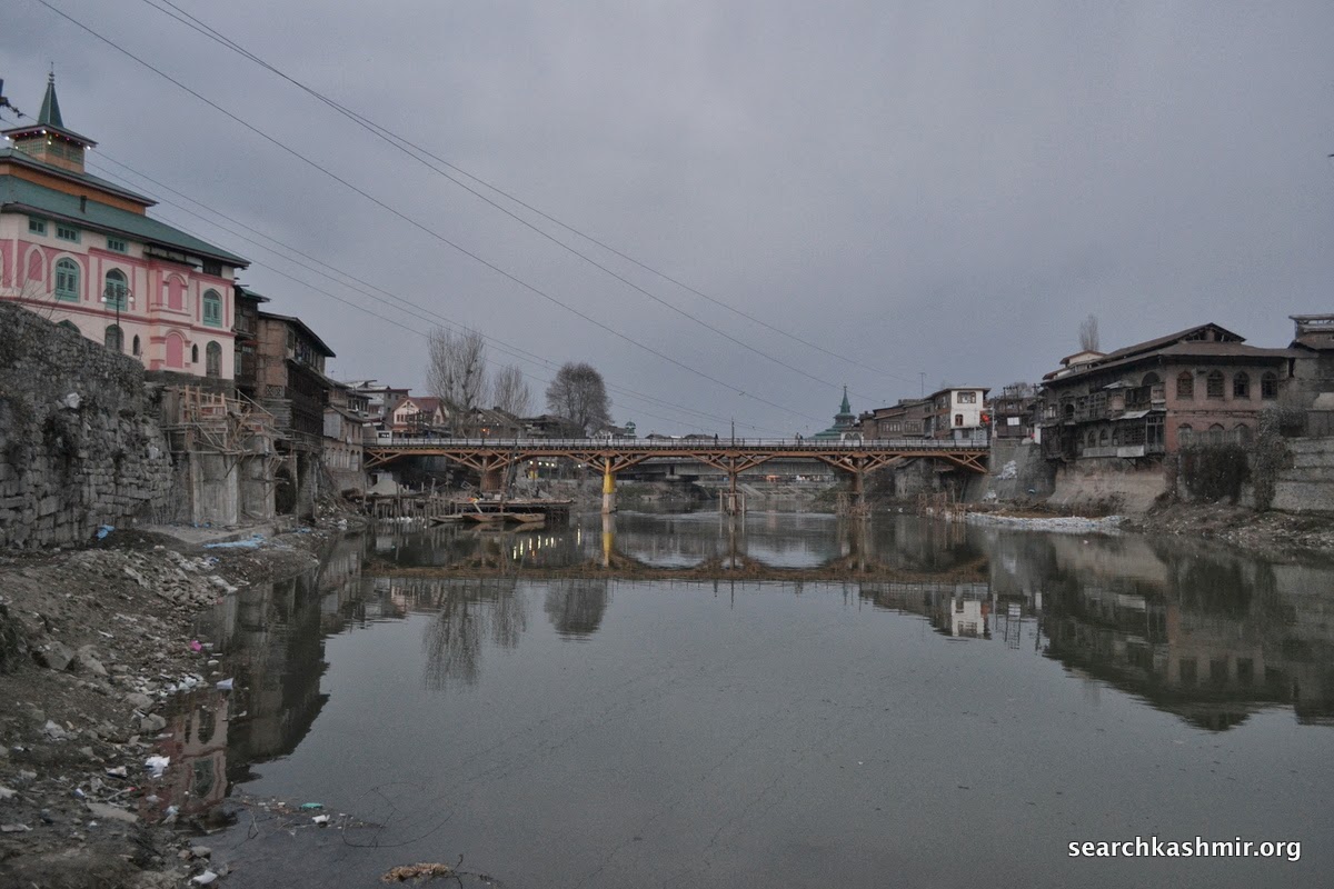
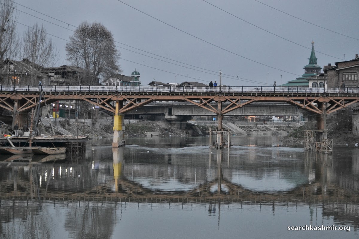
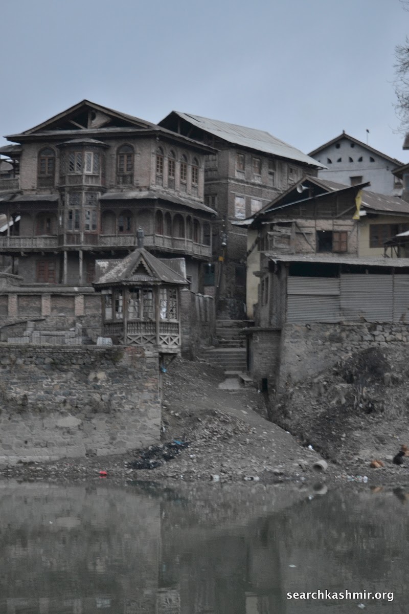
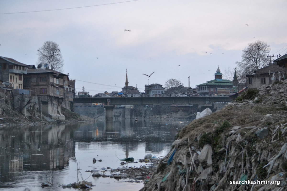
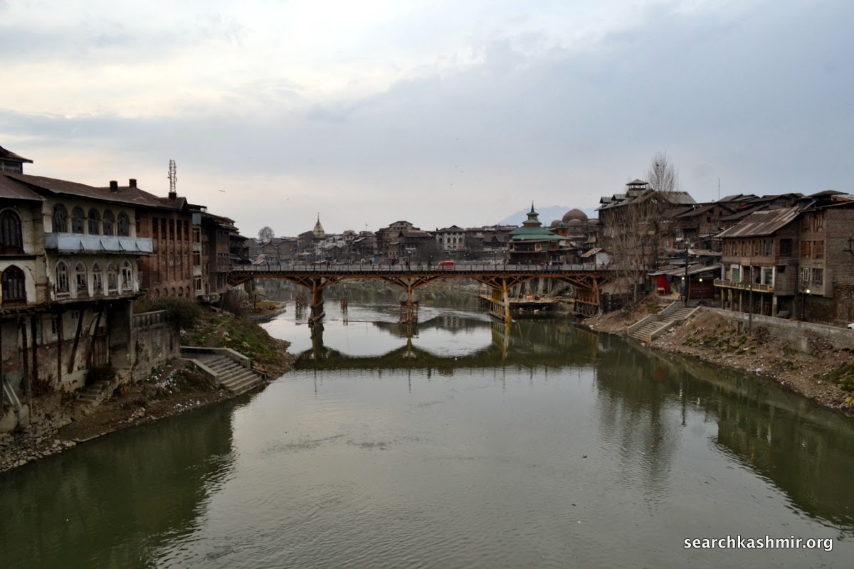
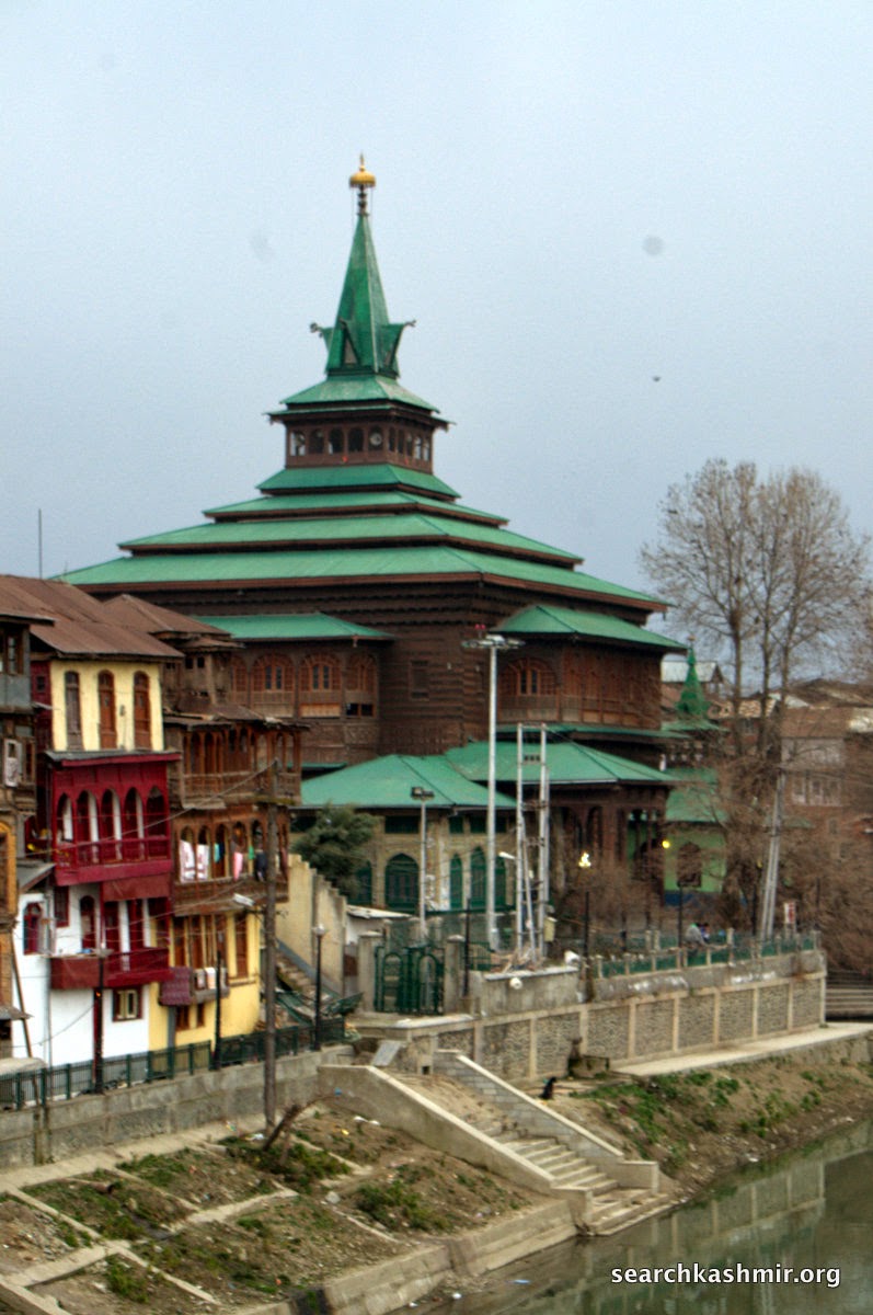
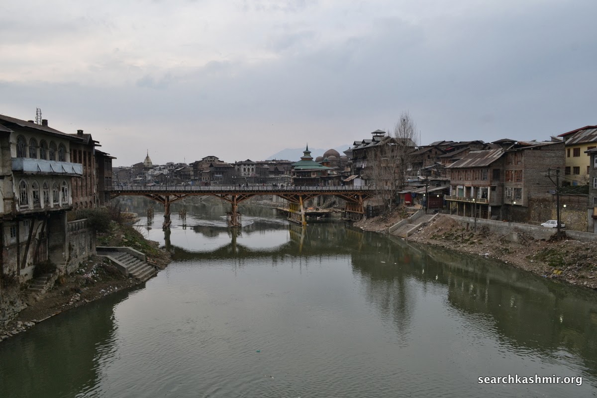
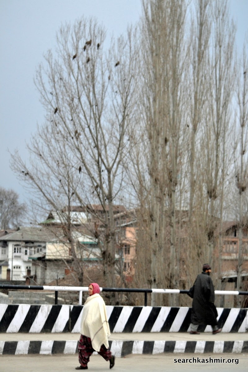
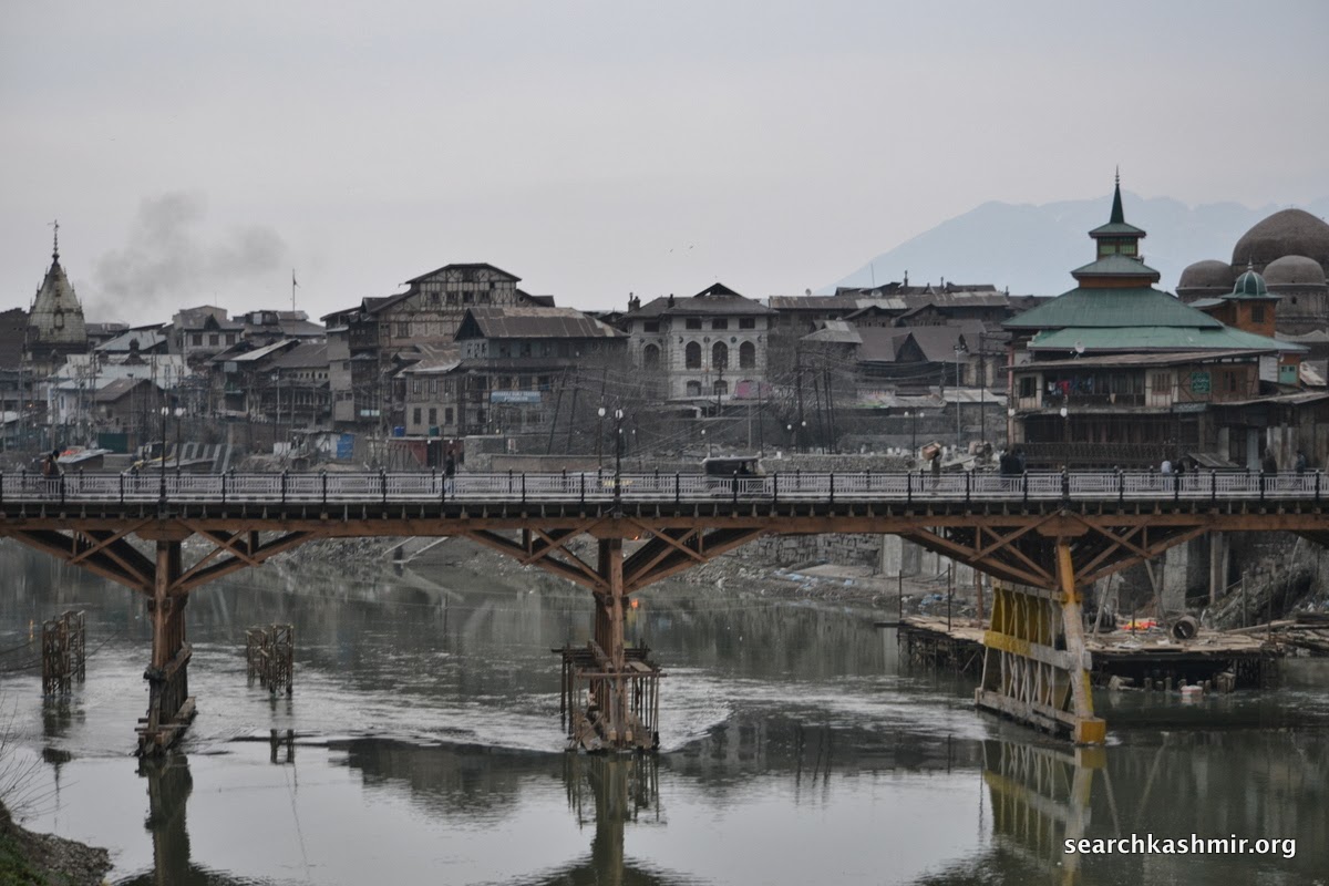
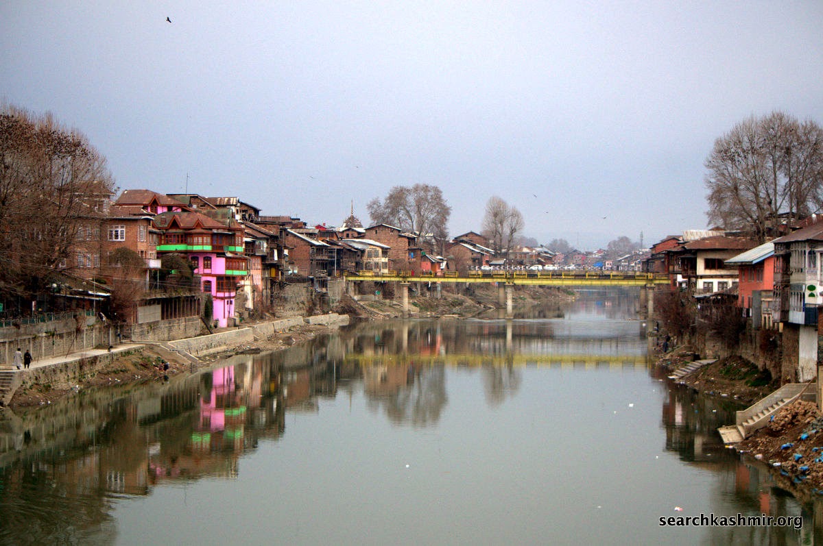
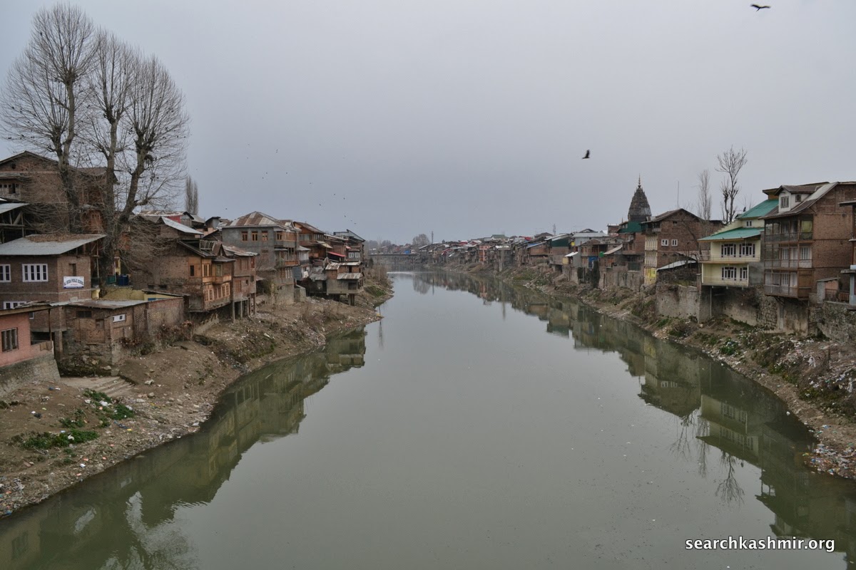
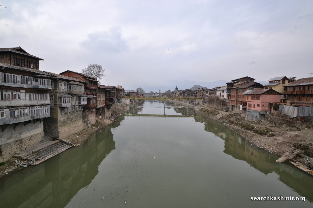
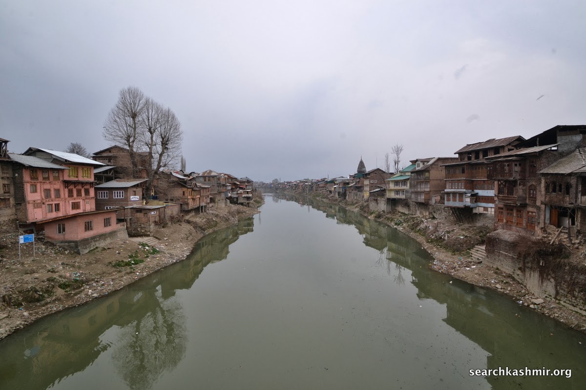
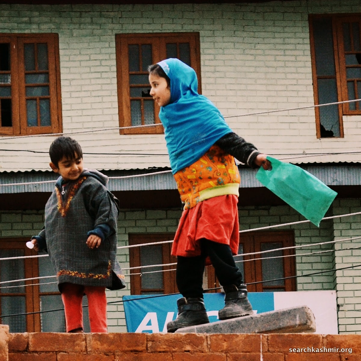
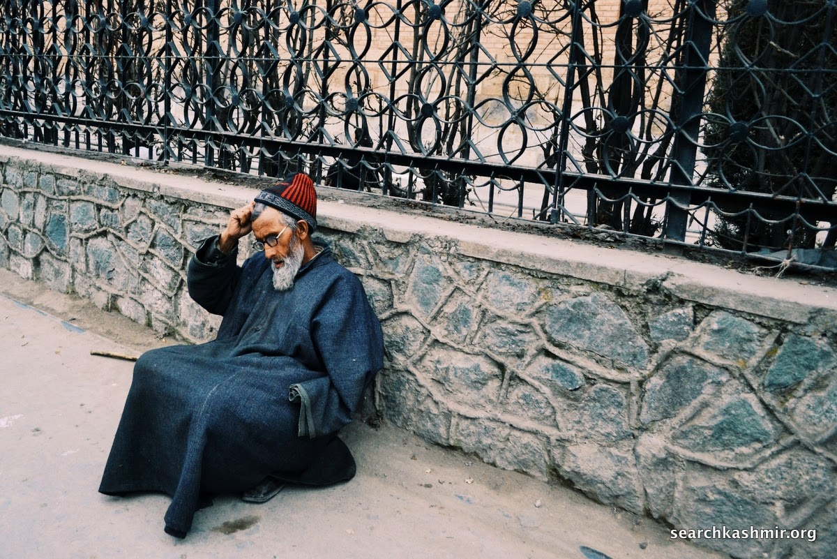
Kashmiris it seems are very conscious about it. A young girl walking on the bridge stopped to suggest that I take pictures in Summer when there is more water.

-0-
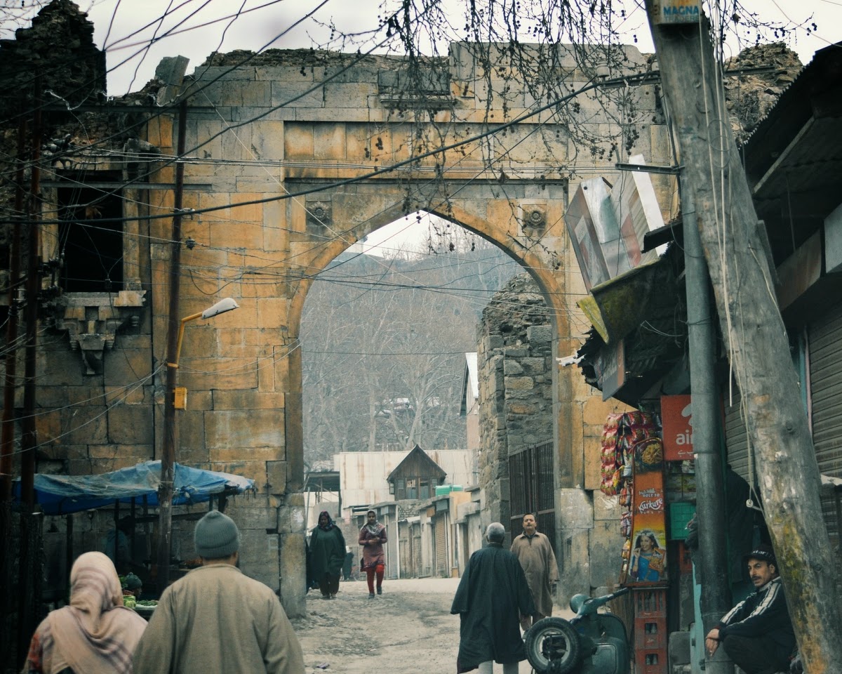

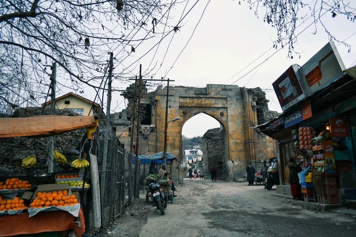
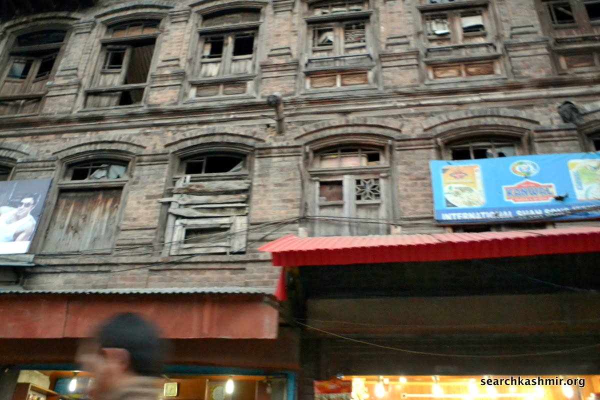
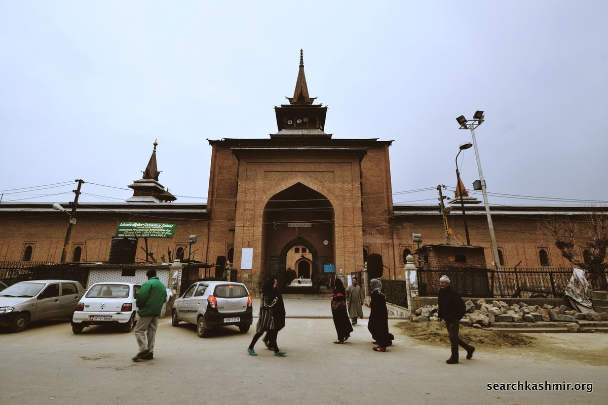
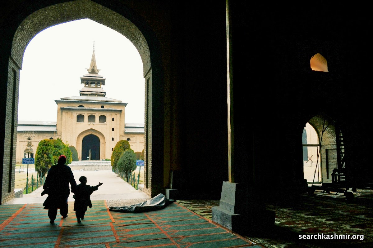
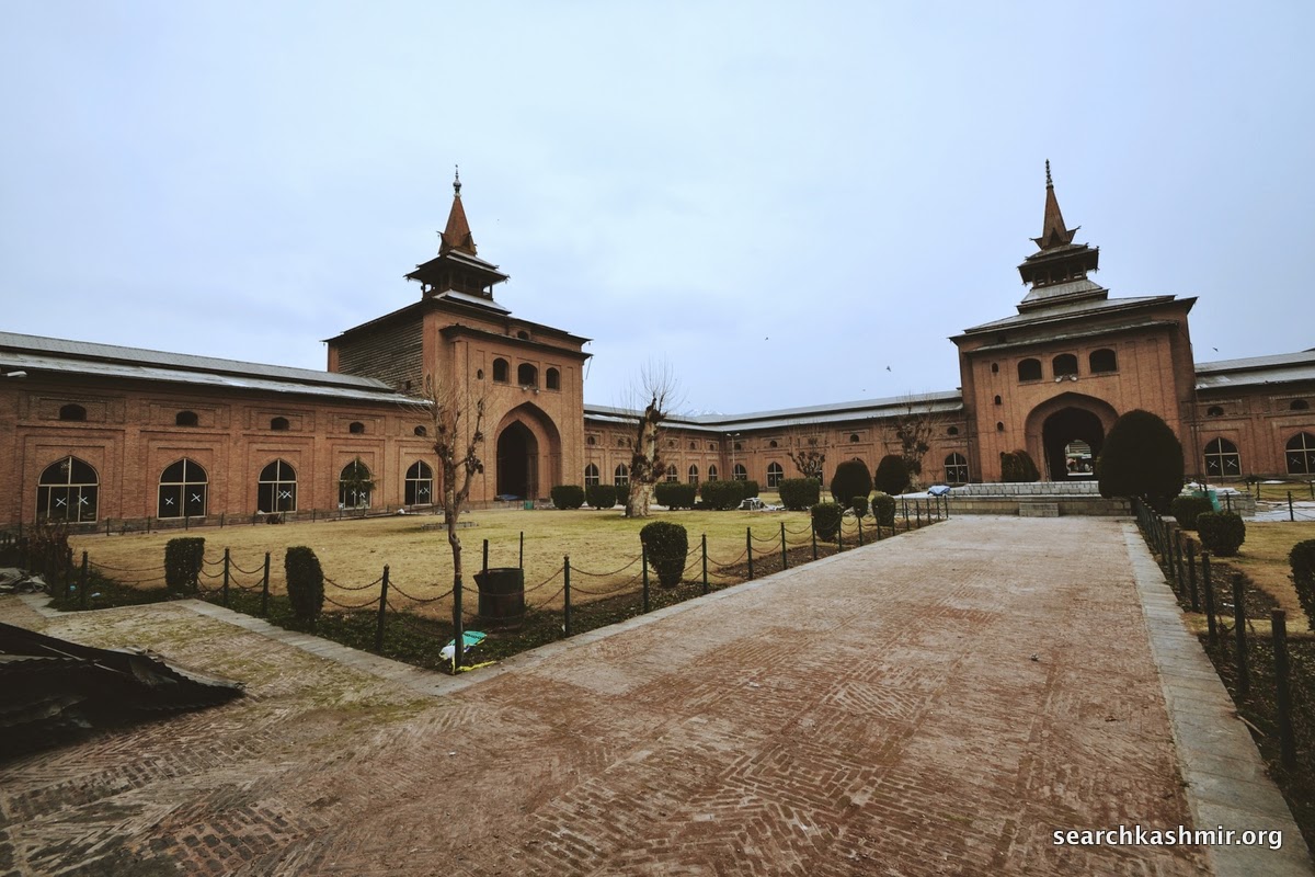
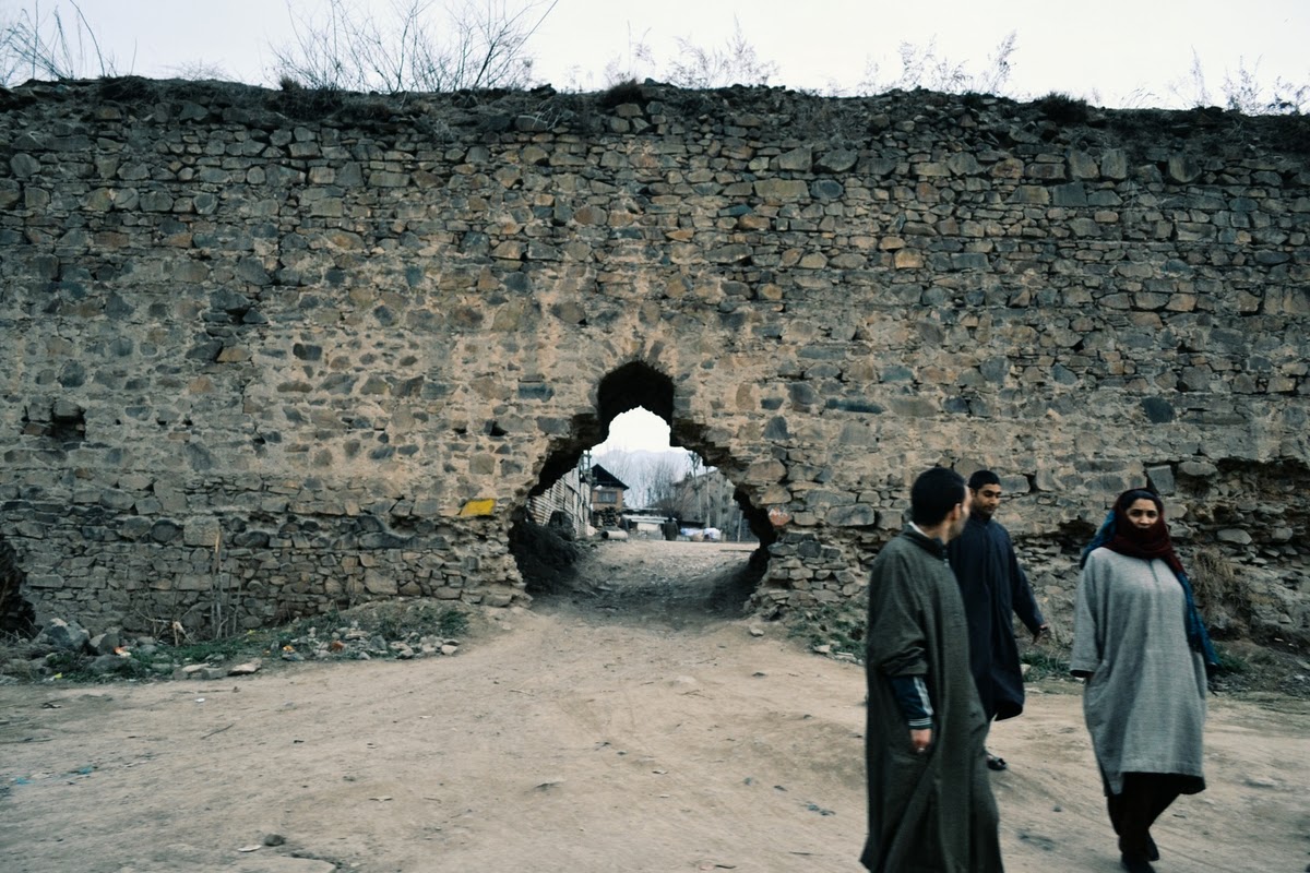
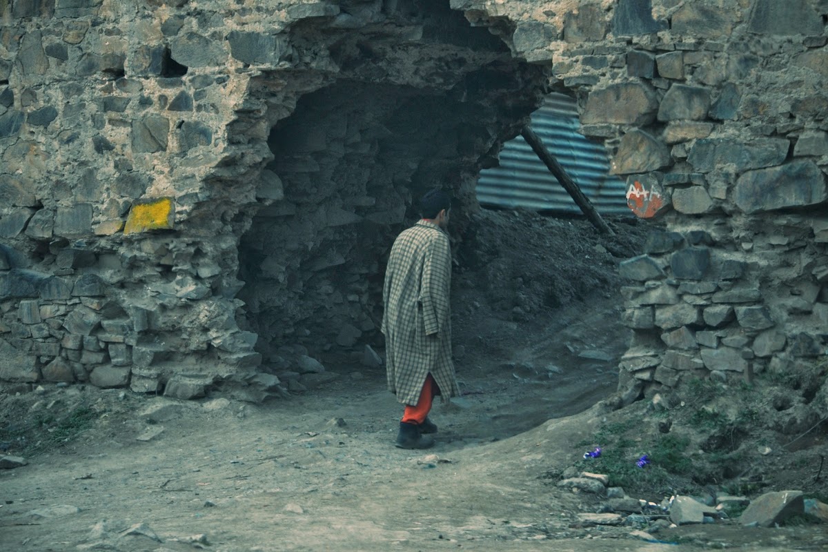
The other Darwaza:
-0-
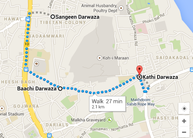
Update: Map for the three gates.
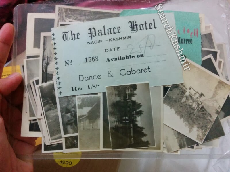

A collection of photographs, receipts and postcards belonging to an anonymous British soldier who visited Kashmir in around 1944 during World War 2.
-0-

 |
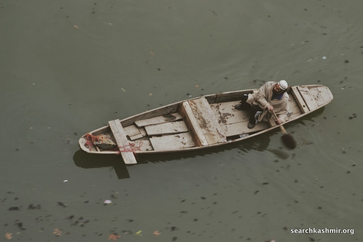
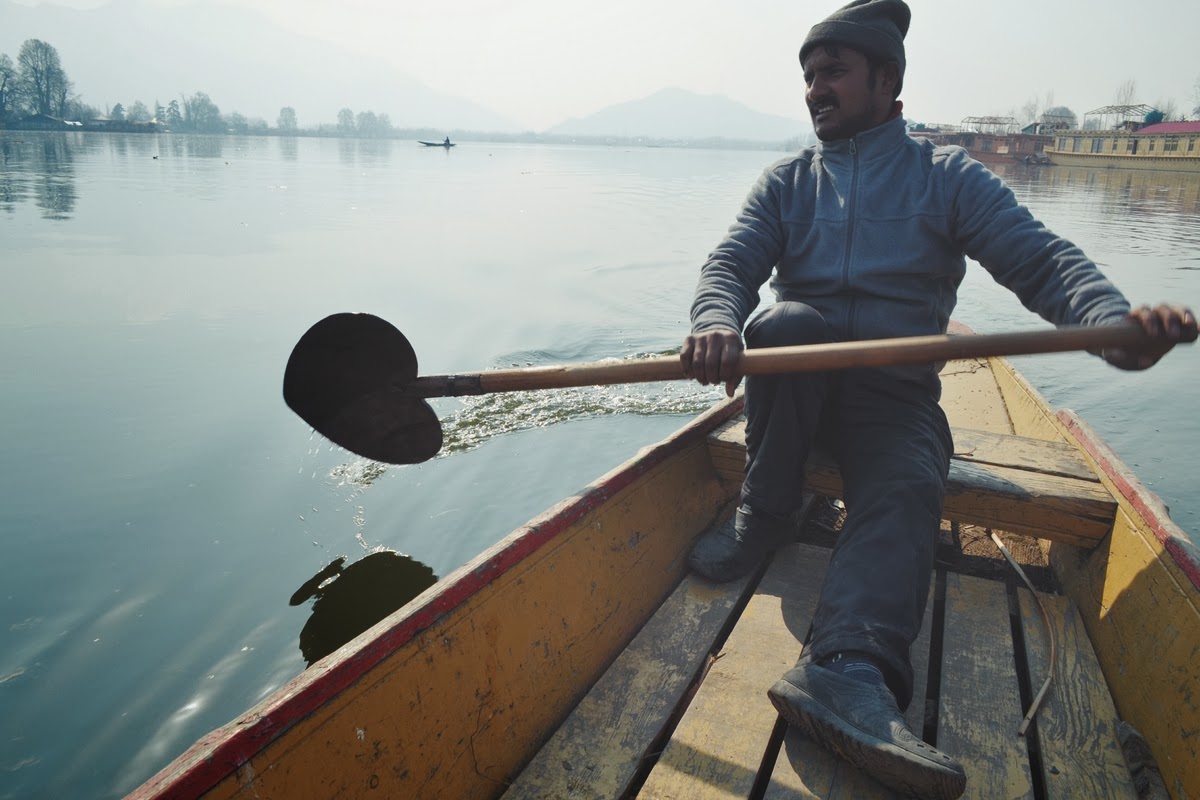
| Num. Nail. The front portion of a Kashmiri boat. |
-0-
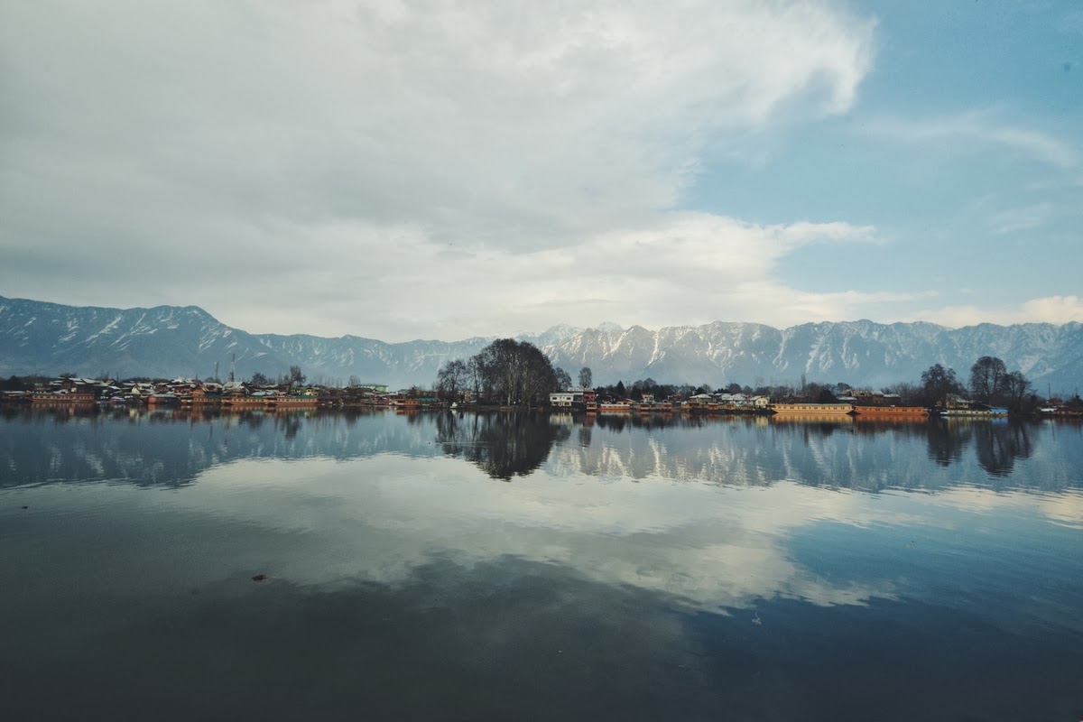

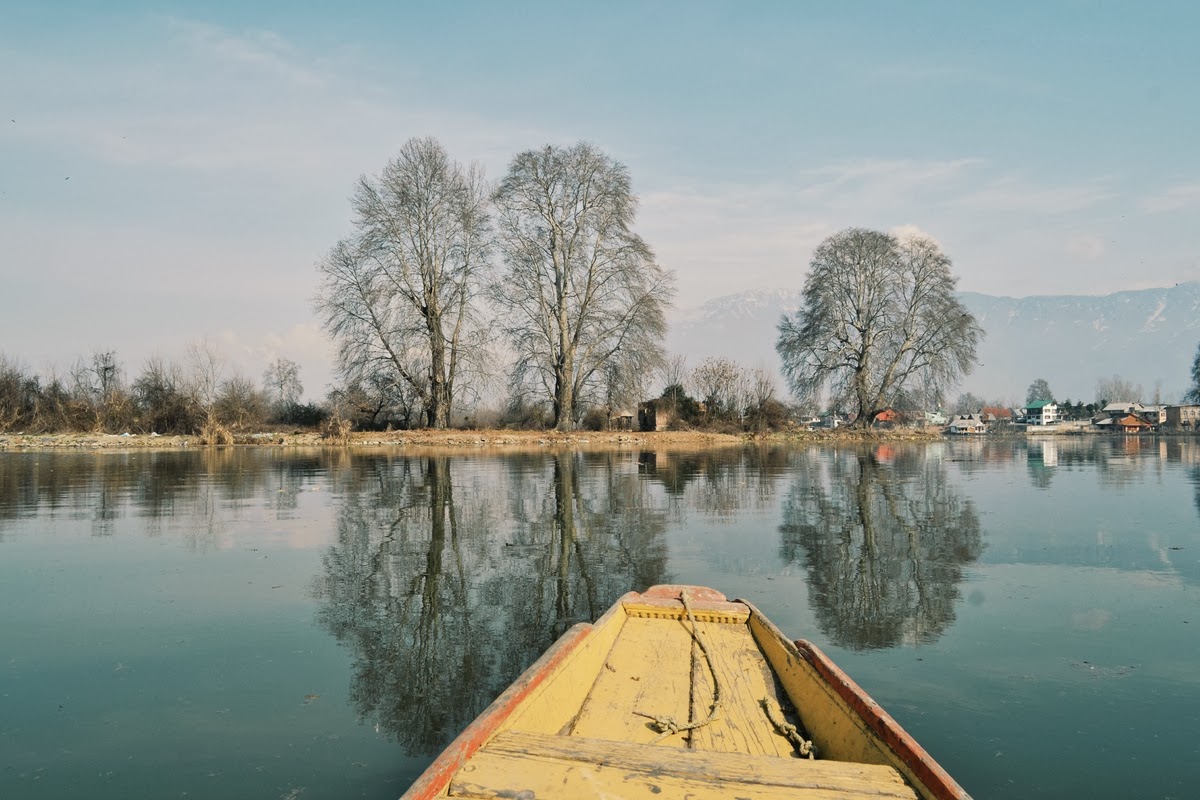
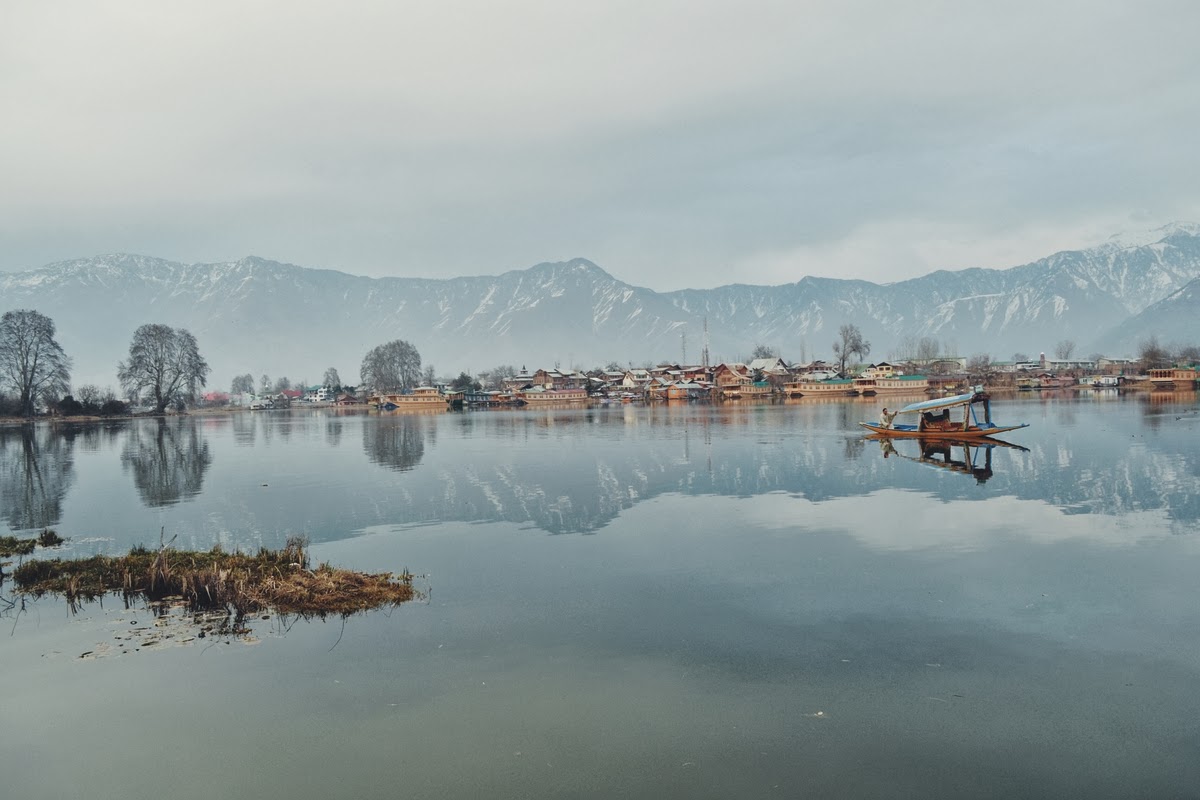
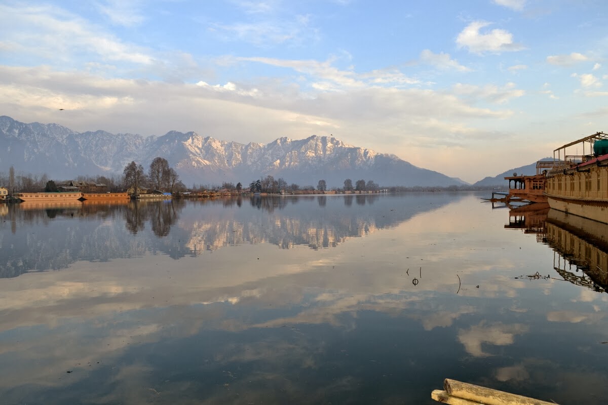
The deeper lake whose clearer water tends to take on bluish tint. Hence the name.
-0-
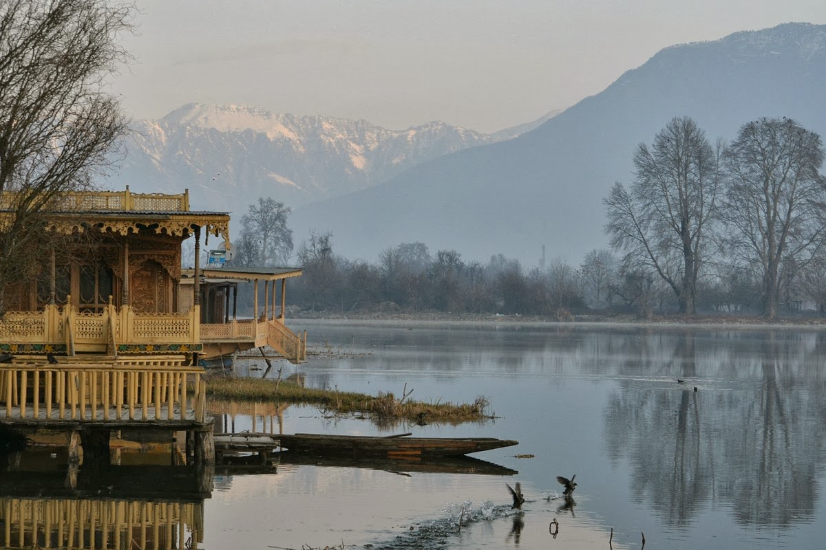
Stayed at Yaseen’s Mascot Houseboat. He first started reading the blog back in 2010, coming for a post on origin of houseboats.
-0-
Video: Half shot about 3500 Kilometers away from Kashmir. Half in Kashmir.
Background score: An old recording of a Kashmiri song by Raj Begum
-0-