In February 2014, I tried to look for Harwan Buddhist site, ended up finding a water filtration plant, returning believing it to be the heritage site. [Read all about it here]
In November, I went back to look for it.
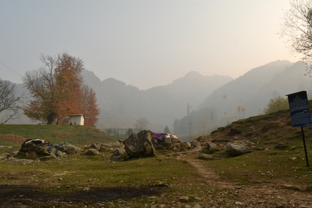
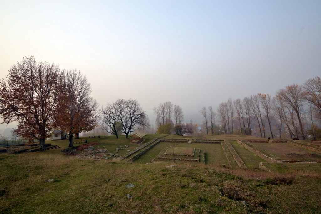
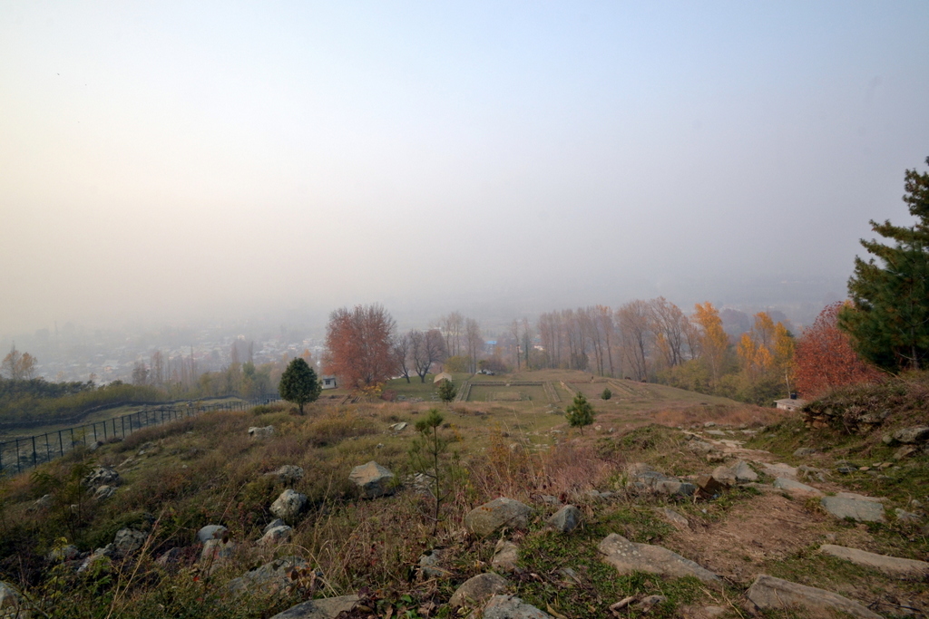
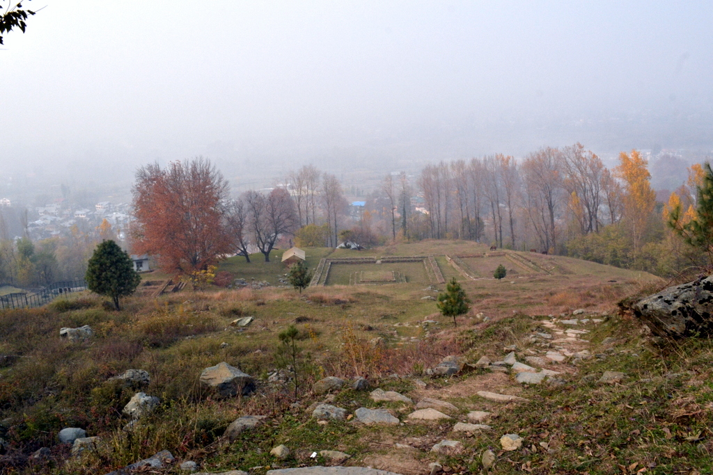
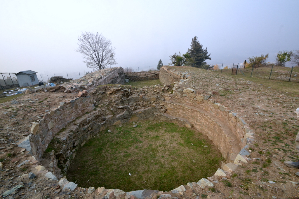
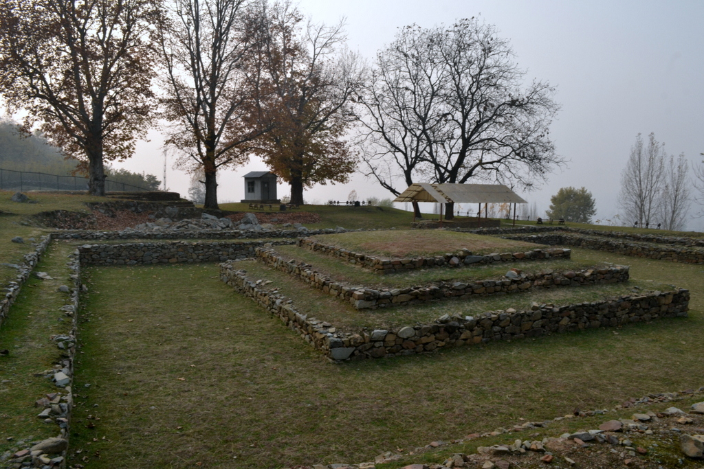
I found Harwan.

I took the right turn this time. I realized why most people miss it. The place is too hidden, you have to hike to the place. Most Pandits visiting are too old, can’t climb, have no old association with the place.
And older cousin of mine however did remember the quite little place near Chandipur where they would sometime go for excursion with Walden school.
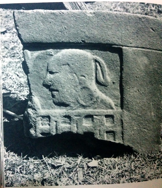
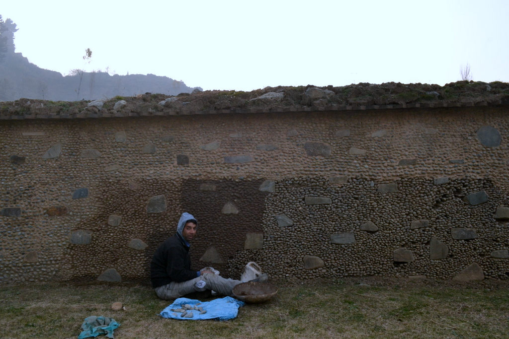 |
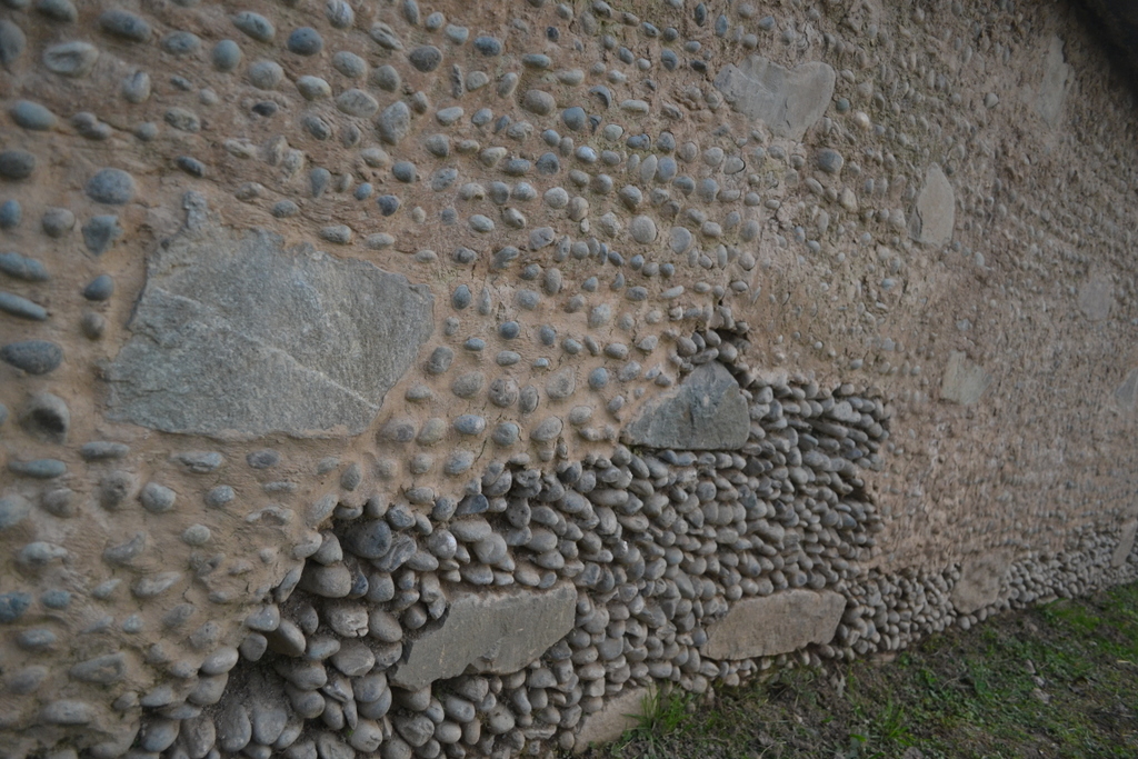
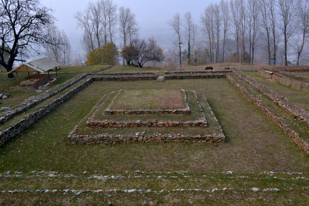
| Diaper Pebble Technique |
The lonely worker was carrying out repair for damage suffered by Stupa due to the flood of September.
I remembered that this high terrace was buried under debris due to cloudburst and flood of 1973 and finally cleared in 1978-80.
Coming in from some distance, I could hear the sound of men sitting somewhere inside an invisible security bunker.
The sun was setting, it was time for me to move.
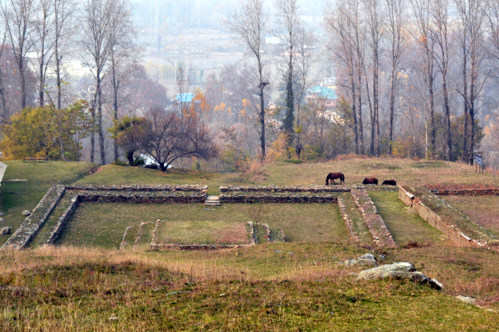
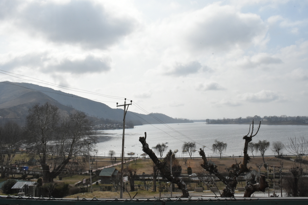
I am convinced that when the place was conceived, the level of Dal Lake would have been higher. The site would have stood just next to the water body.
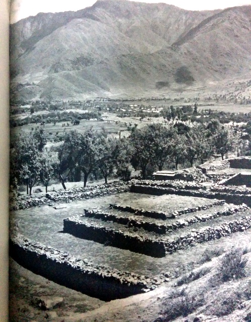 |
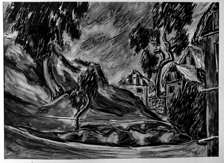
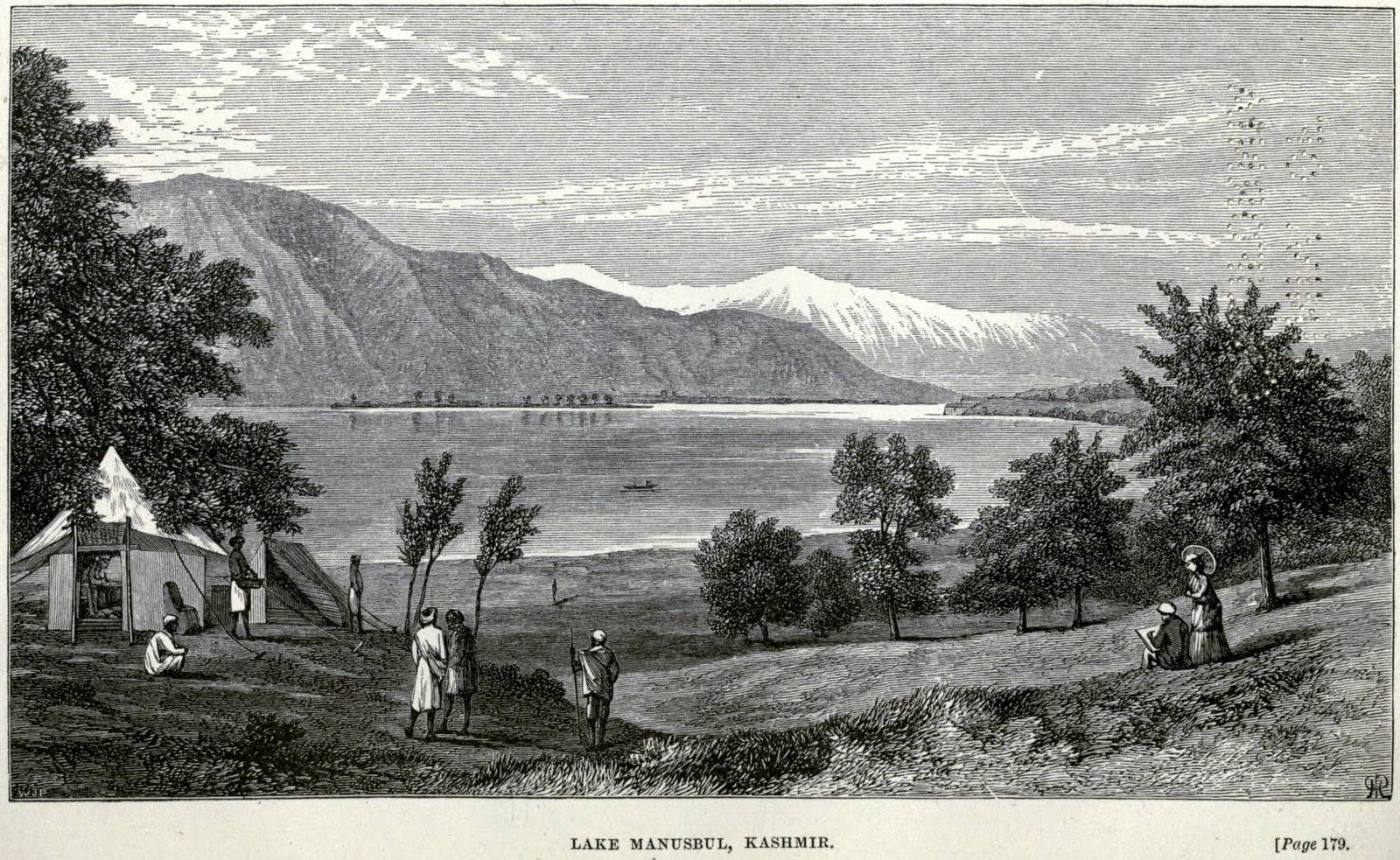
| From Louise Weiss’s Cachemire (1955) |
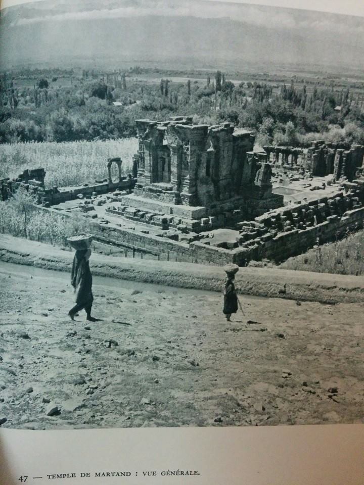
In 1950s, you could just walk around Harwan and the now famous tiles could be seen strewn all around the place. Back them people hoped, it would be an open museum for the tiles.
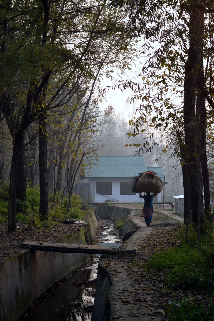
One the way back, I again lost the way. I couldn’t figure out how to get back to the main road.
“hum wayti, maalya”
-0-